Election Ward & Precinct Maps (1953-2011)
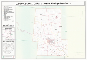 |
The procedure for creating election wards and precincts is embodied in Ohio Revised Code section 3501.18. "The board of elections may divide a political subdivision within its jurisdiction into precincts, establish, define, divide, rearrange, and combine the several election precincts within its jurisdiction...to maintain the requirements as to the number of voters in a precinct and to provide for the convenience of the voters and the proper conduct of elections." The law states that the number of electors in each precinct is "not to exceed one thousand four hundred." In establishing precincts the board of elections is directed to use established geographical units. The maps below are not a complete and exhaustive compilation of all the election ward and precinct maps in possession of Union County. These are the ward and precinct maps that have been transferred to the Union County Records Center & Archives for storage. Drafts and marked up precinct maps have not been included, only maps that are either the final product or the final draft proposal of ward and precinct boundary lines. |
 An official State of Ohio government website.
Here's how you know
An official State of Ohio government website.
Here's how you know